The SBS Bus Route Map Isn’t Confusing—It’s Honest: A New Expat’s Way to Read the City
When our team first moved to Singapore, we remember staring blankly at an SBS Transit bus route map plastered across a bus stop pole in Clementi. After mastering the clean, color-coded, perfectly straight lines of the MRT map, we expected the bus map to make similar visual sense. Instead, we were met with what looked like a plate of brightly colored noodles dropped onto a grid. Lines overlapped, looped back on themselves, sharply detoured into tiny streets, and seemed to defy all geographical logic.
When we first tried navigating this system, we felt completely overwhelmed. We would board a bus expecting a straight shot down a main road, only to find ourselves winding through a maze of residential blocks for 20 minutes. We constantly checked our phones, gripped by the fear that we had boarded the wrong direction.
Over the years, we have spent countless hours riding these routes, getting lost, and finding our way back. We’ve found that the SBS bus route map is not actually a messy failure of design. It is simply honest. Unlike a subway map that abstracts the city into neat, theoretical lines, the bus map shows you exactly how Singapore actually lives, moves, and functions. It reflects the real roads, the real communities, and the real priorities of the island. Here is our community guide to reading the city through its bus routes, turning transit anxiety into everyday confidence.
Why the SBS Bus Map Looks So Complicated
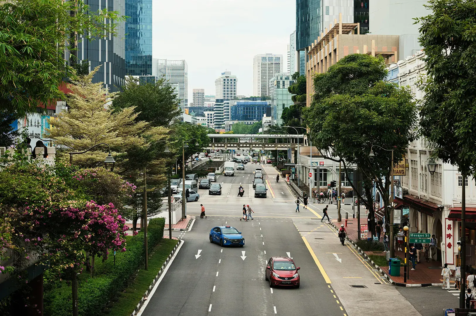
New arrivals typically ask us the same frustrated questions: “Why are there so many bus stops so close together?” and “Why does my bus detour into a neighborhood when the main road is right there?”
The core issue is that we try to read the SBS bus map like a subway map. The MRT and other train services are designed for speed and volume across long distances with straightforward routes. The bus service, however, is designed for deep coverage and accessibility. The map looks messy because it refuses to hide anything.
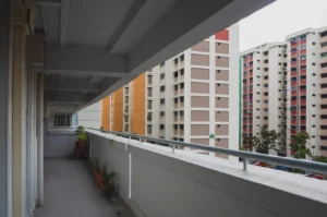
Those sharp bends and sudden loops exist because the bus routes are actively working to connect people where they actually are. It bends to pick up residents from deep within a Housing & Development Board (HDB) estate like Bukit Panjang. It loops to drop students off directly outside their secondary school. It detours to ensure elderly residents can step right up to a hospital entrance. The map reflects a city that prioritizes community access over a perfectly straight commute. Once you accept this, the winding lines stop looking like mistakes and start looking like lifelines.
Decoding the SBS Bus Map: A Simple Walkthrough
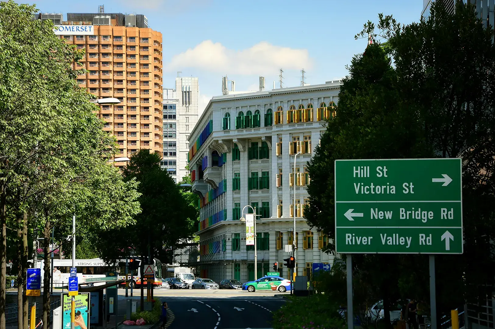
Reading the SBS bus map requires a shift in strategy. You do not need to memorize every line. You just need to know how to decode the journey.
1: Start With the Route Number (And Understand Its Job)
Every bus service number represents a specific pattern.
Trunk Routes (usually two or three digits, like Bus 14 or Bus 190) are your long-haul warriors. They travel from one side of Singapore to another, connecting major hubs and train services.
Feeder Routes (often three digits starting with specific neighborhood codes, or ending in letters) are designed to loop entirely within a single neighborhood, pulling people out of their residential blocks and dropping them at the nearest MRT station or bus interchange.
2: Identify Your Anchor Points
Do not try to trace the entire line stop by stop. Look for the start and end points, usually major bus interchanges like Bukit Panjang or Woodlands Interchange. These anchor your understanding of the general direction. Then, look for major landmarks along the way, like MRT stations or shopping malls.
3: Pair the Physical Bus Stops Map with a Digital App
The physical map at the bus stop shows you the structure of the bus routes, but digital apps show you their real-time usability. The Land Transport Authority provides bus arrival timings and service updates through the SBS Transit app, putting vital information at your fingertips. Simply click or enter the bus stop number in the app to find live bus arrival information and plan your journey with confidence.
From One Expat to the Another: Plan your journey using “reliability time,” not just the estimated time. If an app says a route takes 22 minutes but requires a tight three-minute transfer between two buses, do not trust it. We always suggest choosing a direct bus service that takes 30 minutes over a route with multiple transfers that promises to be faster.
Transit Traps: Lessons from Our Early SBS Bus Blunders
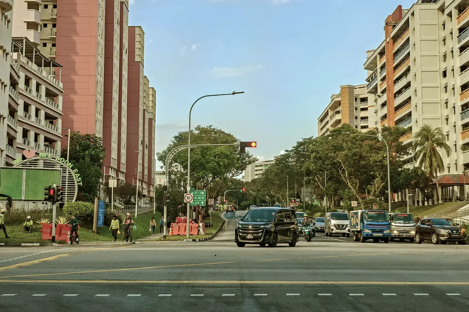
We made plenty of embarrassing transit errors during our first few months in Singapore. Here are the biggest pitfalls to avoid when using the SBS bus map and bus routes.
Assuming the Return Journey is Symmetrical
We learned this the hard way. We once took a bus to a hawker center in Toa Payoh, enjoyed a great meal, and crossed the street to take the exact same bus number back home. Thirty minutes later, we were miles away from our apartment. Many SBS bus routes operate on asymmetrical paths or one-way loops due to traffic flow, one-way road systems, or specific coverage needs. Always check the destination display on the front of the bus, even if it is the same number you took earlier.
Panicking During the HDB Loop
When you board a feeder bus, it will inevitably turn off the main avenue and wind through multiple narrow residential streets. When we first experienced this, we panicked and hopped off early, thinking the driver had gone off-route. We ended up walking a mile in the heat. That loop is the entire purpose of the route. Sit tight, enjoy the air-conditioning, and trust that it will eventually spit you out at the MRT station.
Waiting for the “Perfect” Direct Route
We used to wait 15 minutes for a specific bus because it stopped exactly outside our condo. We ignored three other buses that would have dropped us a short four-minute walk away. Learn the cluster of bus stops near your home and destination. Flexibility is the key to mastering the network.
From One Expat to the Another: Singapore uses a distance-based fare system. Whether you take one bus for 10 kilometers or transfer between trains and two buses over the same distance, the cost remains roughly the same. Expect to spend between S$1.09 and S$2.50 per journey. You are never choosing a route based on cost; you are choosing it based on comfort.
Everyday Adventures on SBS Bus Routes
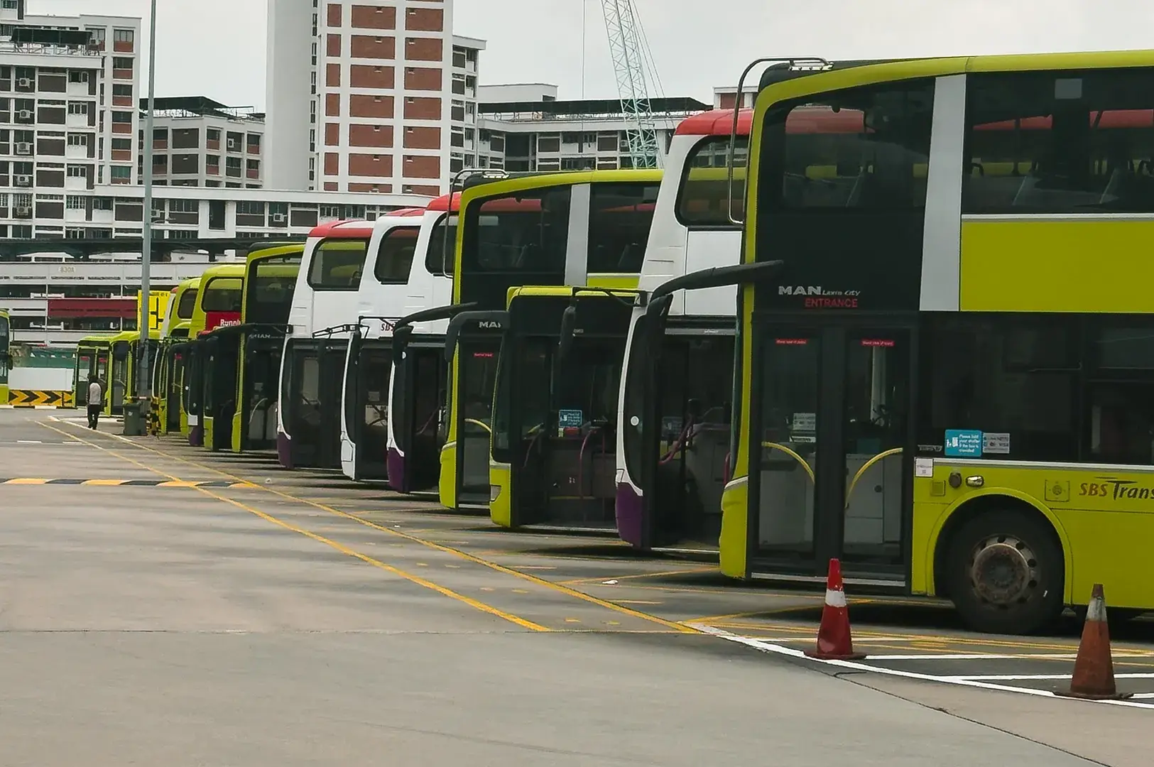
To help you visualize how this works on the ground, here are a few real scenarios you will definitely face while using the SBS bus map and bus service.
The MRT Station Detour
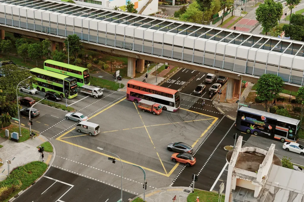
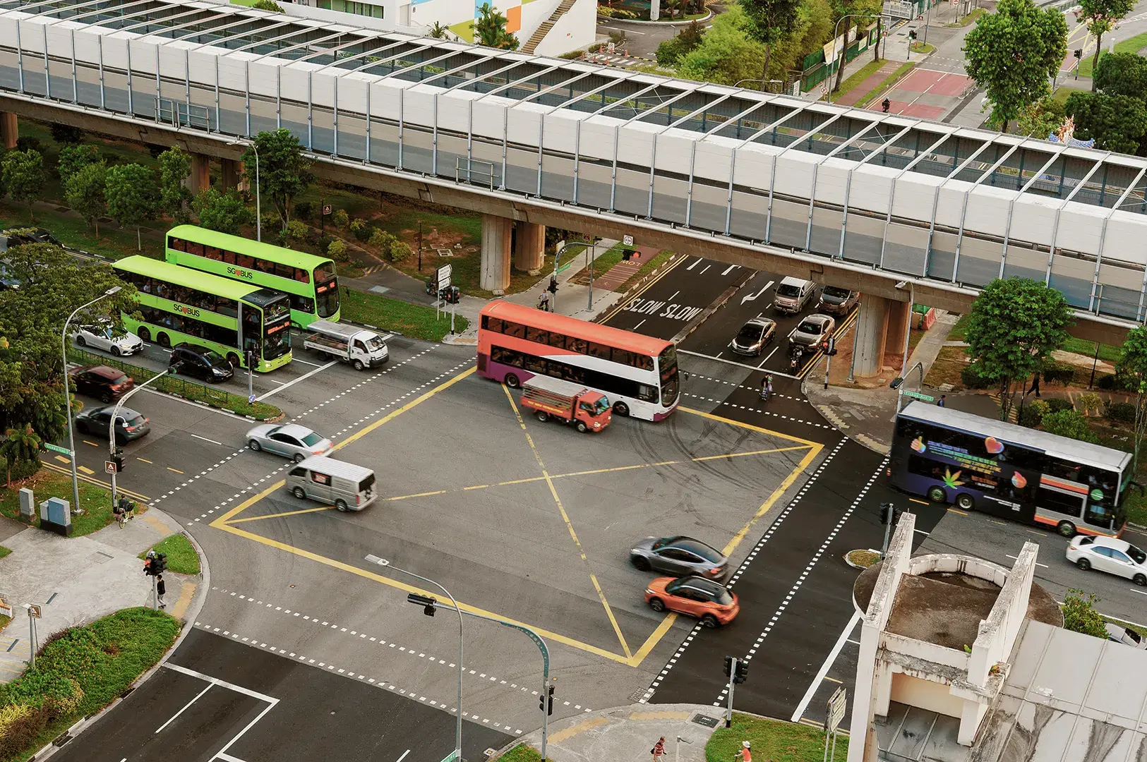
You are riding a trunk bus down a long, straight road like Bukit Timah Road. Suddenly, the bus turns left, drives 500 meters out of the way to pull into a bus interchange next to an MRT station, stops for two minutes, and then drives back out to the exact same main road. This happens because the system fiercely prioritizes interchange connectivity. It wants to make transferring from the train services to the bus as seamless as possible for the maximum number of people.
The Rainy Day Commute
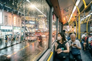
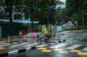
You finish work in the CBD, and a massive tropical thunderstorm hits in the afternoon. Your app suggests taking the MRT, transferring lines, and walking 10 minutes to your apartment. This takes about 35 minutes. Alternatively, there is a trunk bus that takes 55 minutes but drops you at a sheltered walkway right next to your lobby. On a rainy day, that longer bus ride is infinitely more valuable. You stay dry, you get a seat, and you avoid the slippery, crowded train platforms.
Navigating Bus Service Changes and Disruptions in Singapore
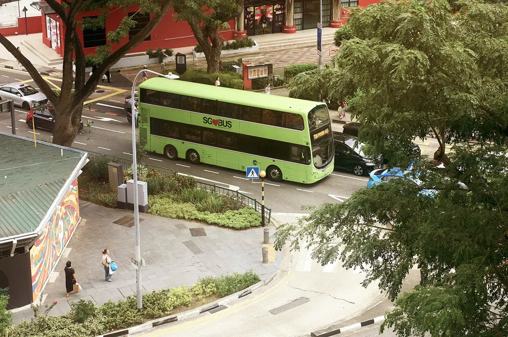
Singapore’s public transport system is constantly evolving. The Land Transport Authority and SBS Transit regularly introduce changes to bus routes and operating hours, especially around public holidays, weekends, and during construction projects.
Bus services may be disrupted or diverted due to planned construction or events. For example, Service 46 skips a bus stop due to the construction of an overhead bridge starting 15 April 2026.
New bus services such as 457 and 458 were introduced recently to improve coverage.
Some bus routes experience changes in their operating hours on the eve of public holidays or special events to accommodate increased passenger demand.
Real-time bus arrival timings and service updates are available on the SBS Transit app, ensuring commuters can find the latest information at their fingertips.
Understanding Singapore bus routes and staying informed helps you avoid surprises and plan your journeys efficiently, whether you are heading to Bukit Panjang, Woodlands, or anywhere else in Singapore.
Embracing the Journey: Finding Beauty in Every Bend
The SBS bus route map feels overwhelming because it does not try to simplify the beautiful, complex reality Expat Life in Singapore. It shows you exactly where people live, where they go to school, where they buy their groceries, and how the city prioritizes their movement.
We encourage you to grab your transit card, pick a neighborhood you have never visited, and take a long bus ride this weekend. Sit on the upper deck if it is a double-decker bus. Watch how the route weaves from towering skyscrapers into quiet, leafy residential estates. Stop staring at the blue dot on your phone and start looking out the window.
The bends, loops, and overlaps will eventually stop feeling confusing. They will start feeling like a map of how Singapore actually lives. You just have to be willing to enjoy the ride.