When I first moved to Singapore, I often watched my GPS dot move in the wrong direction.
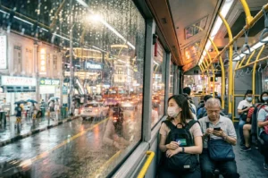
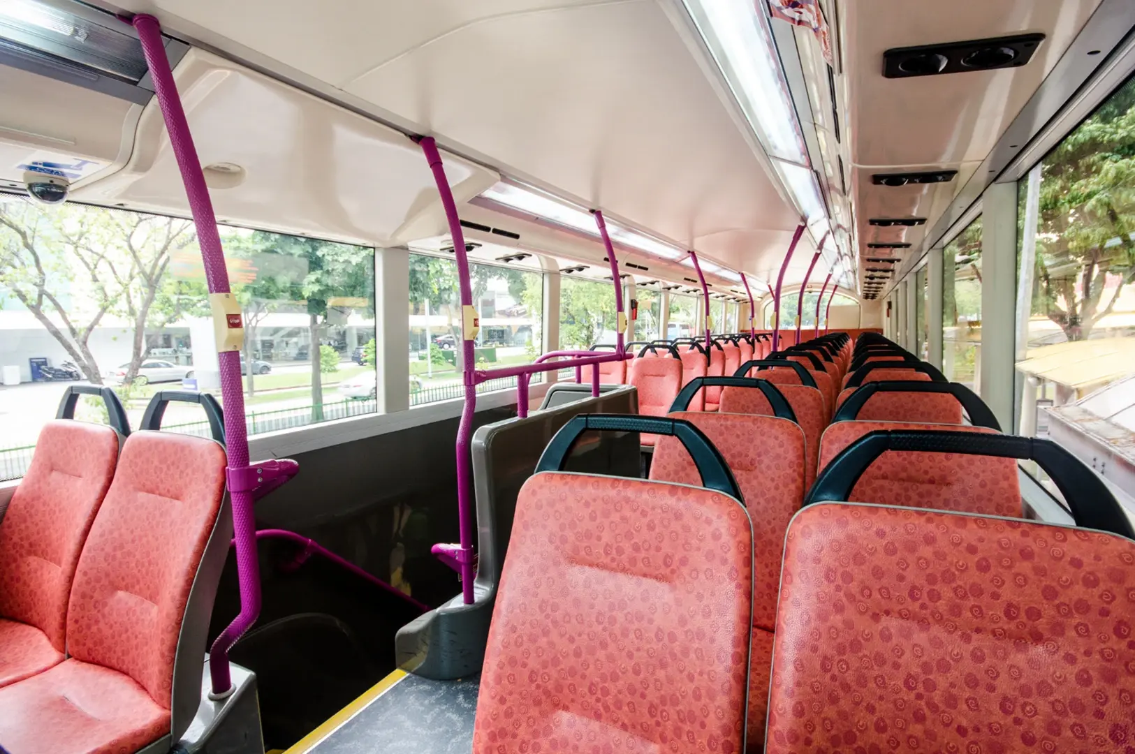
I was on a double-decker bus from a friend’s condo in Bishan to a dinner spot in Serangoon. Though nearby on a map, the bus took a long detour through HDB blocks, looped around a school, waited at an interchange, and finally arrived 35 minutes later. I missed my reservation and was confused.
I thought bus routes should be the shortest line between two points. I was wrong.
Singapore’s bus network isn’t about the shortest path; it’s a blueprint of local life. The bends and loops show how the city is connected. If a bus refuses to go straight, here’s a quick guide to understanding Singapore’s bus lines and making them work for your commute.
The Big Misconception: Singapore Bus Lines Do Not Compete With the MRT
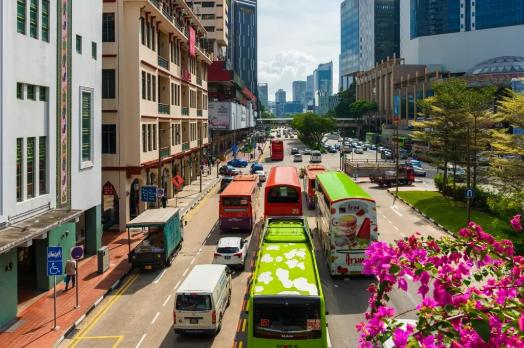
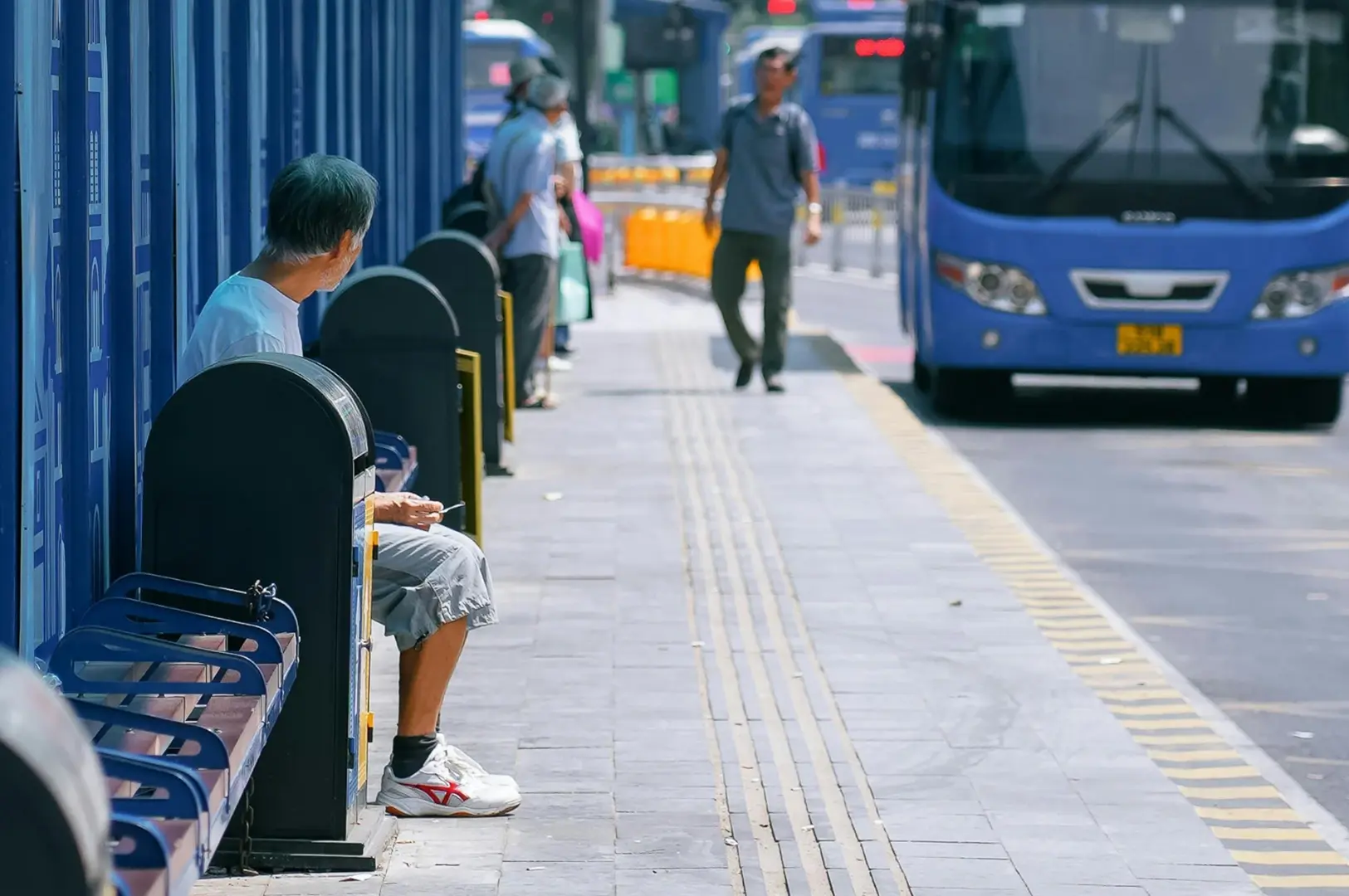
The most common question I hear from new expats about Singapore bus lines is: “Why is the bus so much slower than the MRT even when the map looks completely direct?” The frustration often builds while standing at bus stops under the sweltering sun, watching a public bus take a route that looks like a tangled bowl of spaghetti on the app.
People assume every bus service is in a race against the trains to get them to their destination fastest. But the reality is quite different.
Singapore’s public transport ecosystem, managed by the Land Transport Authority (LTA), is designed for integration, not competition. The buses are not meant to outrun the MRT; they are meant to feed it efficiently. Understanding this requires knowing two main types of bus routes:
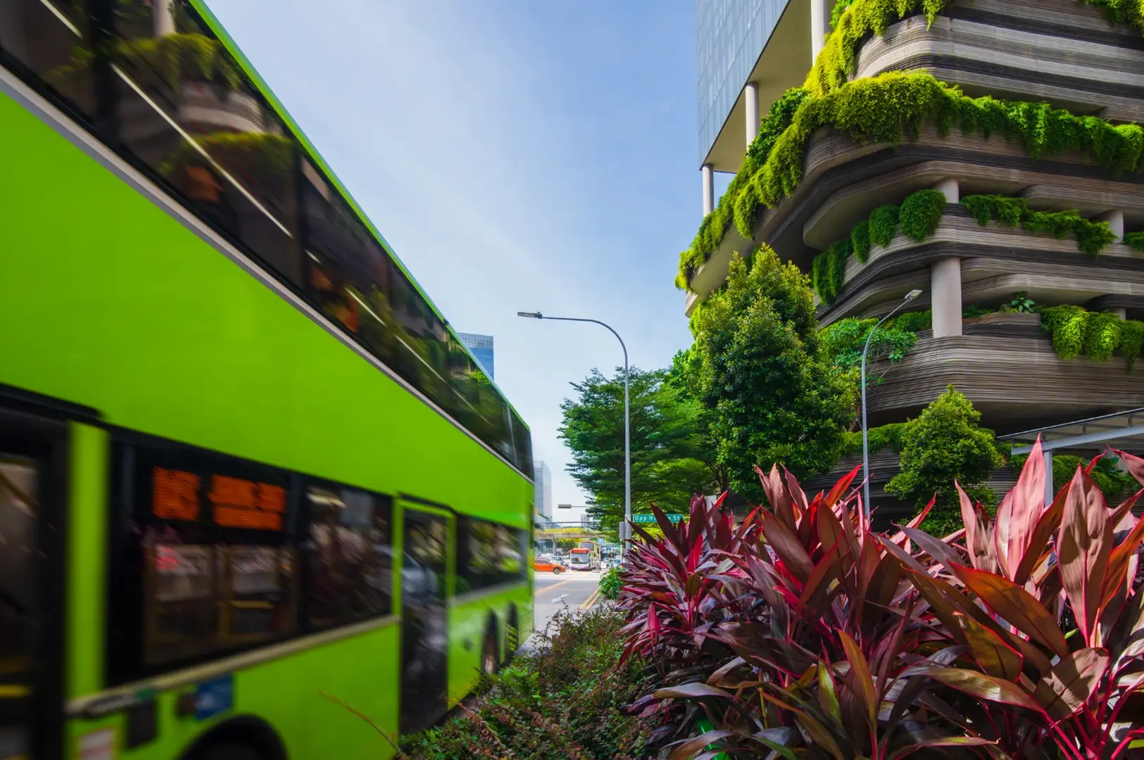
Trunk Services: These are the longer, winding routes that connect different towns and city areas. They rarely take the most direct highway because they are designed to serve residential estates, hospitals like those near Jiemin Primary School, shopping malls, and schools along the way. For example, routes passing through Jurong West Street or near Boon Lay Interchange often loop to cover more residents.
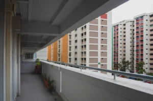
Feeder Services: These shorter, looping routes operate within large housing estates such as those around Sengkang Interchange or Tampines Hub. Their sole purpose is to pick up residents from deep within neighborhoods and bring them to the nearest MRT station or bus interchange, like Bedok Interchange or Yishun Interchange.
When you realize that a bus is stopping at multiple points like Admiralty Road West or near Somerset Youth Park before reaching your stop, the bends and detours suddenly make perfect sense.
How to Read Bus Routes Like a Local
To avoid being caught in unexpected loops on Singapore bus lines, you need to change how you plan your journey.
1: Use Official Tools for Route Logic
Google Maps is great for speed, but it doesn’t explain why a bus route takes a certain path. I recommend using the official MyTransport.SG app or local tools like BusRouter SG. These show the actual shape of the routes. If a route dips heavily into residential areas like Kovan Hub or along Punggol Road, expect frequent stops and a slower ride.
2: Identify the Route Type by Number
Feeder buses often have three-digit numbers starting with specific codes related to their town, or they end with a letter (e.g., the 29X series near Boon Lay or 91X in Woodlands). Trunk routes usually have two or three digits (like 14, 65, or 197). Boarding a feeder bus expecting a cross-island trip will likely leave you looping in a neighborhood for 45 minutes.
3: Check the Direction of the Loop
Loop services start and end at the same interchange, circling through neighborhoods such as those near Corporation Place or Fidelio Street. Always check the bus’s digital display. If it says “Loop,” boarding at the wrong stop might mean riding the entire perimeter before reaching your destination.
The Expat Perspective: Singapore’s public bus services use distance-based fares, calculated by total distance traveled, even if you transfer between a bus and MRT within 45 minutes. You won’t pay a new base fare every time you tap in. Expect to spend roughly S$1.09 to S$2.50 per journey.
The Logic in Action: The Commuter Experience
Seeing how the city’s logic shapes bus routes helps make sense of the bends.
The Housing Estate Loop
Imagine visiting a friend in Clementi. A feeder bus weaves through five streets of HDB flats before reaching the MRT. To newcomers, it looks inefficient. But for residents, this loop saves a sweaty 15-minute walk to the station. It’s not inefficient, it’s localized service at its best.
The Town-to-Town Trunk Route
Take Service 197, for example. It runs from Boon Lay Interchange to Bedok Interchange. Instead of taking the Pan Island Expressway directly, it detours through the CBD, Chinatown, and Bugis. This route connects major shopping nodes, office districts, and residential towns, acting as a moving corridor of daily life.
Don’t Get Caught Out: Common Bus Travel Missteps
I’ve made nearly every transit mistake possible. Avoid these for smooth rides:
1: Judging a Route by Visual Distance
Once, I picked a route because the destination looked “two inches away” on my phone. I forgot those inches crossed an industrial park and a highway junction near Airport Cargo Road. What seemed like a 10-minute ride turned into 40 minutes. Always check estimated time and number of stops, not just map proximity.
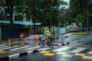
2: Ignoring Diversions
Roadworks, events like the Standard Chartered Marathon, or public holidays often force buses to detour. The Land Transport Authority and bus operators like SBS Transit and Tower Transit Singapore publish service updates. If you see a neon yellow sign at a bus stop, read it, it might mean your bus is skipping that stop.
3: Forgetting Bus Etiquette
When a bus loops tightly through estates like around Yio Chu Kang Road or Bukit Panjang, it stops frequently. Don’t block exit doors; move to the back to let others alight. Always tap out when you exit. Forgetting to tap out means you’ll be charged for the entire long route.
The Expat Perspective: The “Comfort Route”
Many expats chase the fastest route, often involving tight transfers and uphill walks. Locals often prefer a slightly longer, direct public bus ride for guaranteed seats, strong air-conditioning, and zero stairs.
What’s New: Singapore Bus Lines and Services in April 2026
Looking ahead to April 2026, the Land Transport Authority is set to introduce new bus services and route adjustments across Singapore, including around Changi Airport and major hubs like Toa Payoh Interchange and Kio Avenue. These changes aim to improve operating hours, increase service frequency, and enhance connectivity for commuters in growing estates like Punggol Field and New Punggol Road.
Highlights include:
Introduction of new express and premium bus services operated by Tower Transit Singapore and SBS Transit, offering faster travel options to the city and key terminals.
Expanded coverage of bus stops near residential areas such as Lagoon View and Ang Mo to reduce first- and last-mile travel times.
Improved bus routes around Bukit Panjang and Yishun, with additional trips during afternoon peak periods, weekends, and public holidays.
Deployment of advanced technology for real-time tracking and smoother boarding processes, including contactless payment options beyond cash.
Adjustments to routes affected by ongoing construction near Airport Road and Airport Cargo Road, ensuring minimal disruption during the transition.
These enhancements reflect the government’s commitment to boosting the efficiency and comfort of Singapore’s public bus services, helping residents and visitors alike navigate the city with ease.
Premium Bus Services: A Taste of Comfort on Singapore Bus Lines
For those seeking a more comfortable ride, premium bus options operated by select bus operators offer plush seating, fewer stops, and quicker journeys. These services often connect residential estates directly to business districts or popular destinations like the Ritz Carlton area.
Bus directions Singapore: Why the “Fastest Route” rarely feels the best is a common question among commuters who discover that comfort and convenience often outweigh mere speed.
Riding a premium bus is like stepping into a calm oasis amid the urban bustle; soft leather seats, gentle air-conditioning, and a quiet ambiance that lets you relax or prepare for your day. These services often run during peak operating hours on weekdays and eve of public holidays, catering to commuters who value comfort alongside convenience.
The Long Way Home: Finding Stories in Singapore’s Bus Bends
The next time you find yourself on a bus that seems to be taking a ridiculous detour through a neighborhood you have never heard of, take a breath. Look out the window.
Singapore bus lines are a masterclass in urban planning. Their bends and loops reveal the true structure of the city: how the quiet residential estates connect to the bustling MRT stations, how the neighborhoods link to the town centers, and how millions of daily routines fit together on a small island.
Stop fighting the geography. Do not rely entirely on the straight lines. Grab your EZ-Link card, find a seat by the window, and let the bus take you the long way around. You might just discover a part of your new home you never would have seen otherwise.
For insights into navigating these routes and more, many expats turn to resources like Expat Life Singapore.